
Emergency protected cycle lane proposal: from the railway station to DGH via King’s Drive
King’s Drive (and Lewes Road) is one of Eastbourne’s busiest arteries, linking the town centre and seafront with several large residential areas: Upperton, Ratton, Hampden Park, Willingdon and beyond to Polegate and Hailsham. It also connects to the hospital (DGH), East Sussex College, various schools, David Lloyd sports club and retail parks.
King’s Drive runs along the edge of flood meadows, it is essentially flat and it provides the quickest, most direct North-South route. Sadly, the good news for cyclists ends there. As anyone who has attempted to ride along King’s Drive knows, the sheer volume and speed of traffic feel uncomfortable and at times it’s downright dangerous. Data from Crashmap bears this out. Not surprisingly, few people attempt to use their bicycles here and most opt for the car, even for short trips.
Solutions
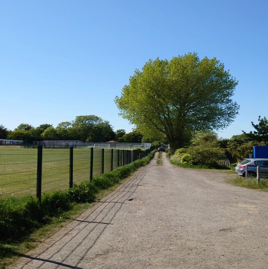
Bespoke Cycle Group has long argued for a separate cycleway to be constructed along the meadow to the east of St Thomas A Becket school (see below) and behind Weavers Close. It would continue to the DGH roundabout and join up with the existing cycle path alongside Cross Levels Way.
Sustrans echoed this idea in its draft recommendations (310.2) to ESCC in 2017, but signs of progress have not been detected. In the meantime, the COVID-19 pandemic has swept in, forcing local authorities around the world to wake up to the importance of cycling and walking as genuine alternatives to cars and public transport in urban areas.
It is surely the time for ESCC to construct temporary protected cycle lanes here. Bespoke propose one-way 2m wide lanes (in line with the traffic) on each side of King’s Drive and Lewes Road, extending from the DGH roundabout to the junction of Tutt’s Barn Lane for southbound cyclists and from the junction with Upper Avenue to the DGH roundabout for northbound cyclists.
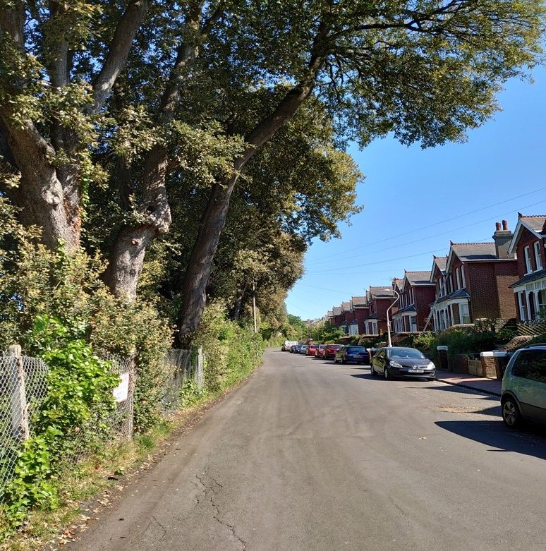
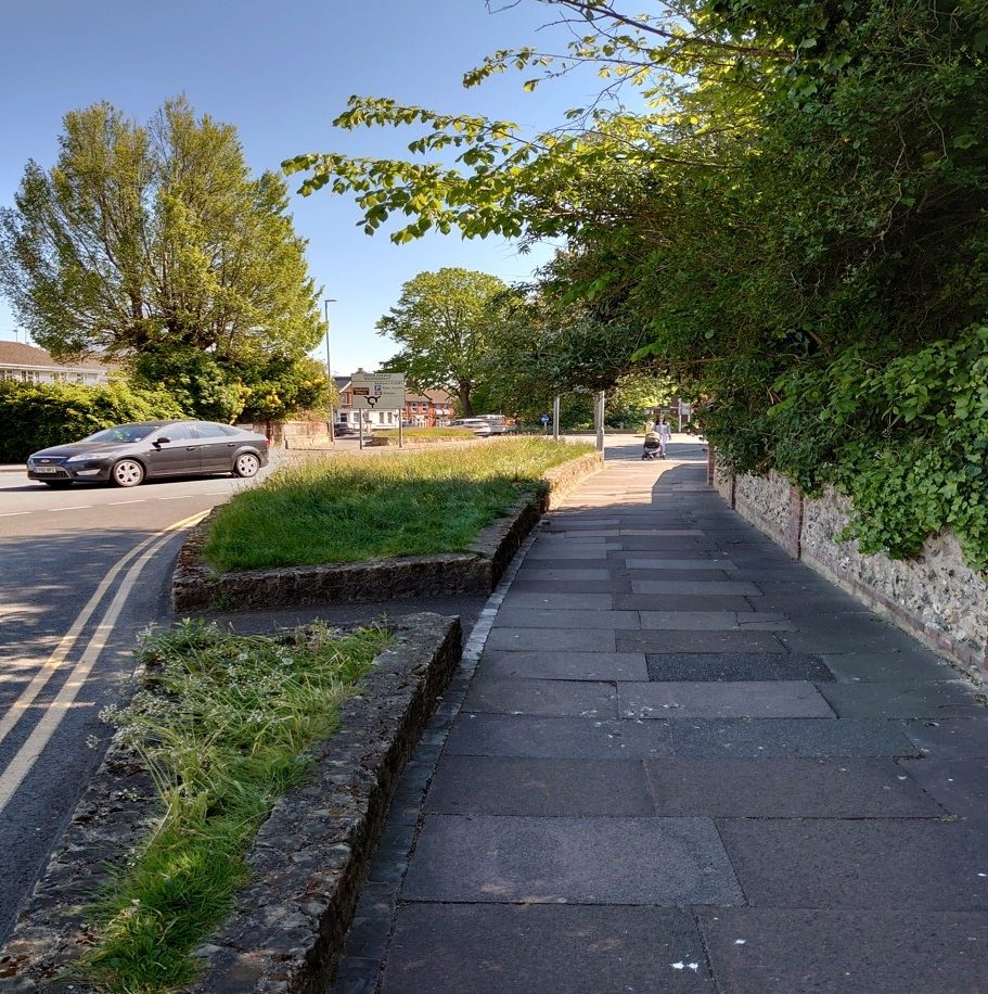
Here, a cycle lane could replace the grass verge, or take up part of the road next to it.
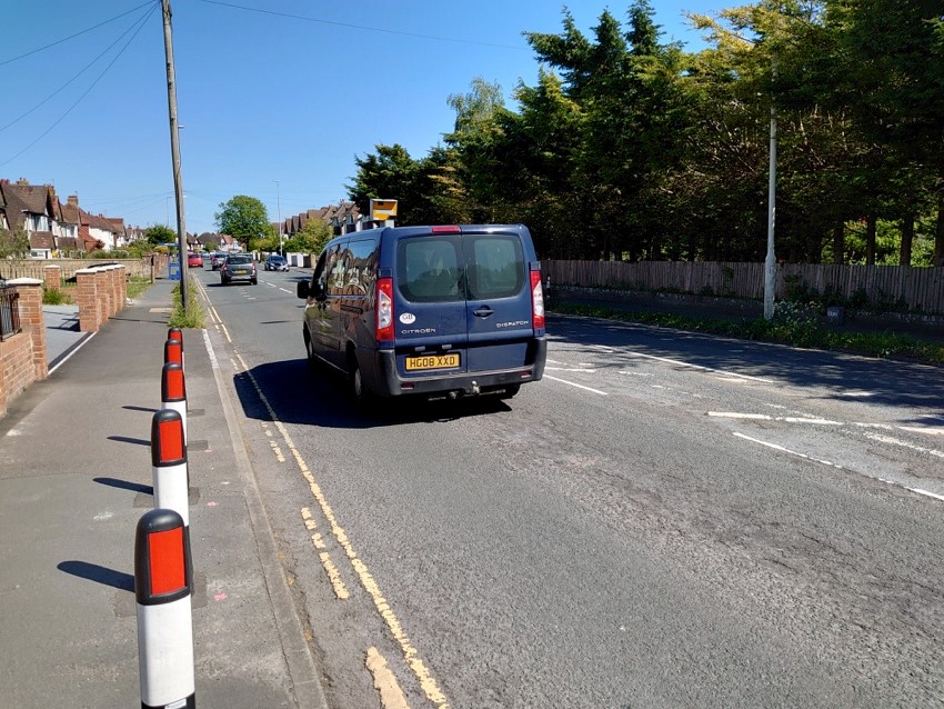
In this section of King’s Drive, temporary bollards could be placed on the road 2m from the kerb.
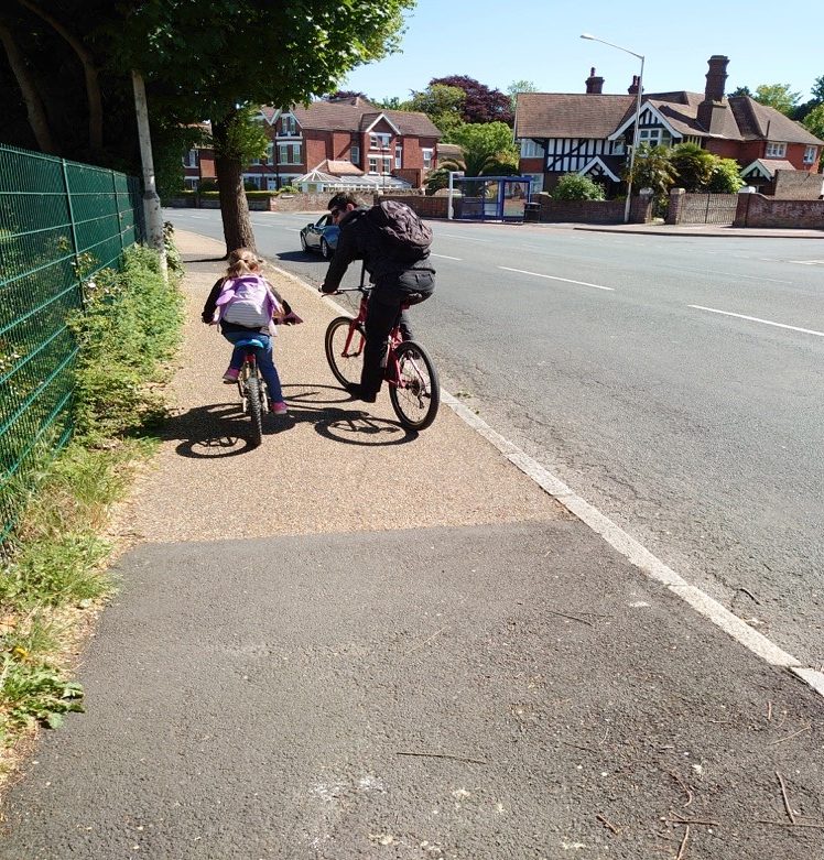
The same applies here, by St Thomas A Becket school, so this dad and his daughter wouldn’t need to be on the pavement.
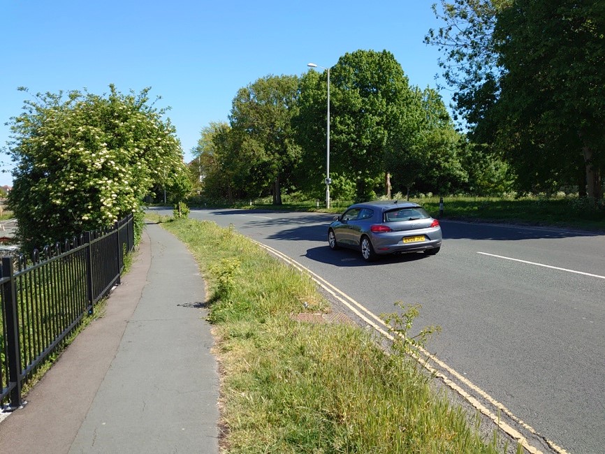
Southbound cyclists could turn left into Tutt’s Barn Lane, then continue along the quiet Gorringe Road.
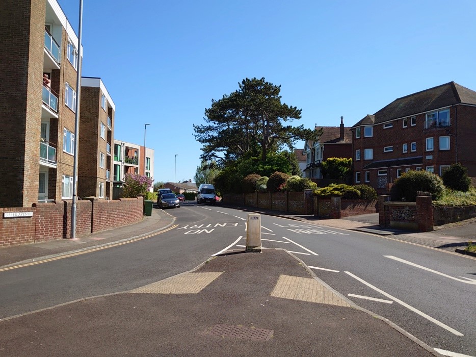
At the junction with Lewes Road, there could be a combined pedestrian and cycle crossing to Upper Avenue – ideally to the pavement on the north side (on the right of this picture).
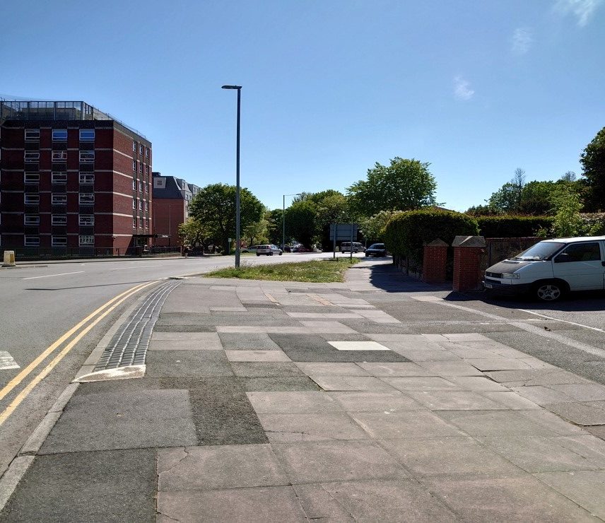
This pavement could be widened, or space reclaimed from the road to accommodate a two-way cycle lane:
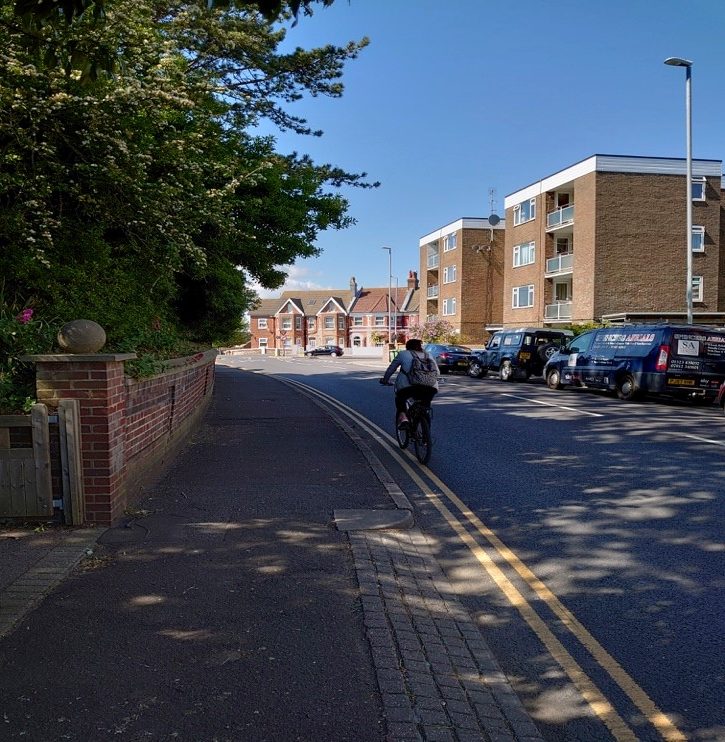
The grassy area could be narrowed to accommodate a two-way cycle lane.
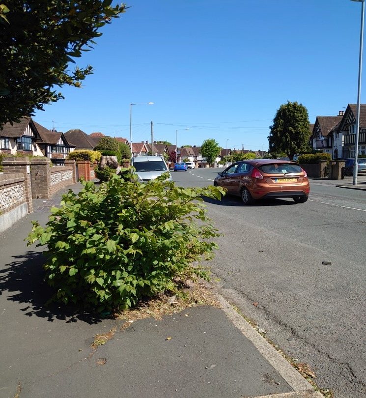
There’s plenty of space on this corner of Upper Avenue:
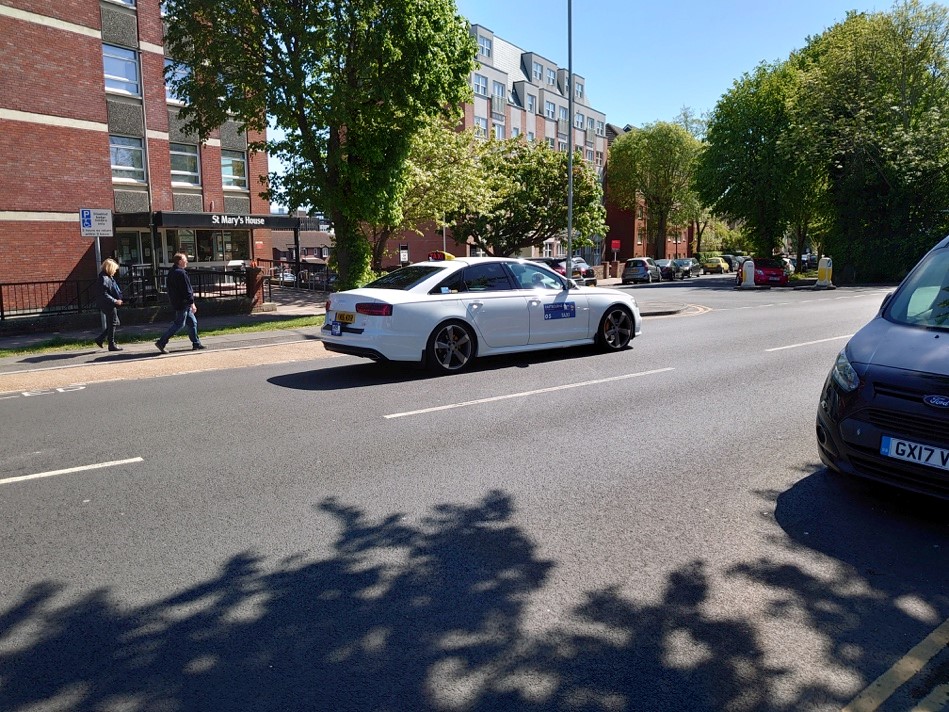
A new crossing for pedestrians and cycles here on Upper Avenue, opposite St Mary’s House, would enable safe passage to and from St Leonard’s Road.
The quiet St Leonard’s Road probably wouldn’t need any cycle infrastructure.
Nor would St Ann’s Road, on the left in this photo.
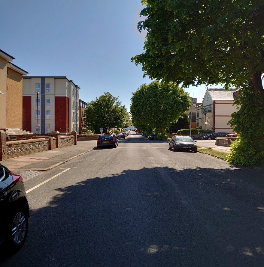
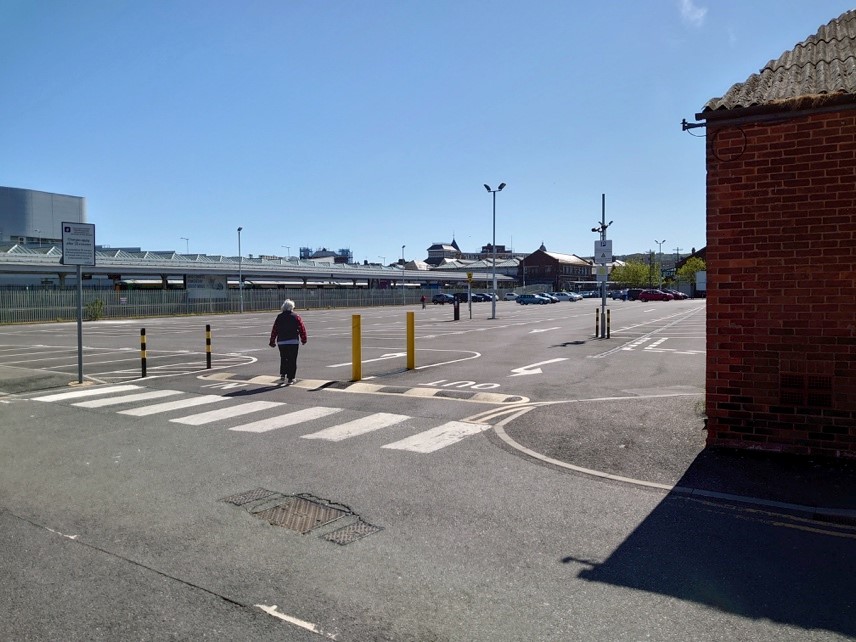
St Ann’s Road leads to the station car park – for access to trains, the Enterprise Centre, town centre and seafront.
Robert McGowan
Transport Group, Bespoke